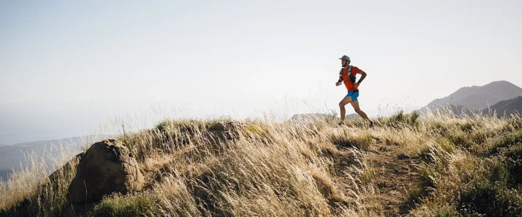
- Instructed by an International Mountain Leader and experienced Ultra runner
- Ultra Race Preparation
- Learn to navigate confidently while on the move
- Stunning countryside locations
- Use of maps and compasses included
- Small group sizes with expert instruction
- Develop efficient route planning skills
- Day into Night Navigation (winter dates only)
Whether you’re training for your first trail race, exploring new routes, or venturing into remote terrain preparing for an Ultra, this course will teach you how to navigate with map, compass and GPS tools while maintaining momentum on the move.
You’ll learn how to make quick navigation decisions, choose the best lines through terrain, relocate when things don’t go to plan, and stay safe in changing weather and low visibility. Our winter courses include an element of day into night navigation.
In many remote locations you are unlikely to get a phone signal, so you must ensure your general navigation skills are up to scratch, especially if you become disorientated in darkness or cloud. Race routes are often waymarked but there may be times you lose visual of these waymarks and/or they are disrupted for any reason. As well as having the route mapped via GPX file or similar, having some general awareness of where you are in the landscape will enable you to plan ahead and look after yourself.
Who Is It For?
Perfect for:
- Trail runners looking to explore new routes confidently
- Race participants wanting to become more self-sufficient
- Fell runners
- Ultra runners
- Adventure racers
- Orienteers looking to improve mountain navigation
- Anyone wanting to spend less time checking maps and more time running
No previous navigation experience is required.
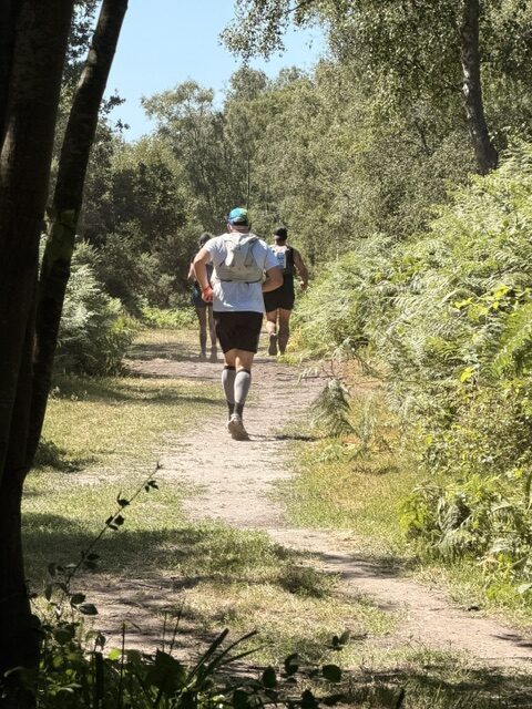
Our Skills Academy has been providing courses for individuals and groups for over 14 years. We pride ourselves on providing the very best customer service and individual attention to ensure our guests get the maximum benefit from our courses. We have a huge amount of experience and expertise in providing outdoor skills courses, and we are recognised as one of the leading providers in the region – please do take a look at our Testimonials
Learning outcomes:
- Understand map symbols, scales and contours
- Orientate a map accurately
- Estimate distance and time whilst running
- Understand common navigation mistakes by runners
- Plan efficient routes
- Navigate confidently across open terrain
- Navigate in poor visibility
- Take and follow accurate compass bearings
- Use digital mapping and GPX effectively
- Managing tricky terrain
- Understanding the weather
- Relocation techniques
- Safety outdoors
Duration: One full day (typically 09.30-16.30) Winter dates will have a later start and finish time subject to sunset times.
Dates:
10th January 2027 (South Downs)
21st February 2027 (North Downs)
Location: South Downs at Devils Dyke near Brighton, the North Downs at Newlands Corner near Guildford. The locations we use are easily accessible from London and are convenient for public transport if required – pick up and drop off service also available.
Course is limited to 8 participants
Your course is led by an extremely experienced and qualified outdoor instructor. They are a qualified to a minimum MTA Mountain Leader level and also have extensive experience leading and instructing in the area. All our instructors are also outdoor first aid qualified and DBS checked.
Please organise your own accommodation for the course, if required as well as a packed lunch. Use of maps and compasses are included for the duration of the course.
Please do not hesitate to contact us if you would like further information or to discuss selecting the right course for you.